Image
Image
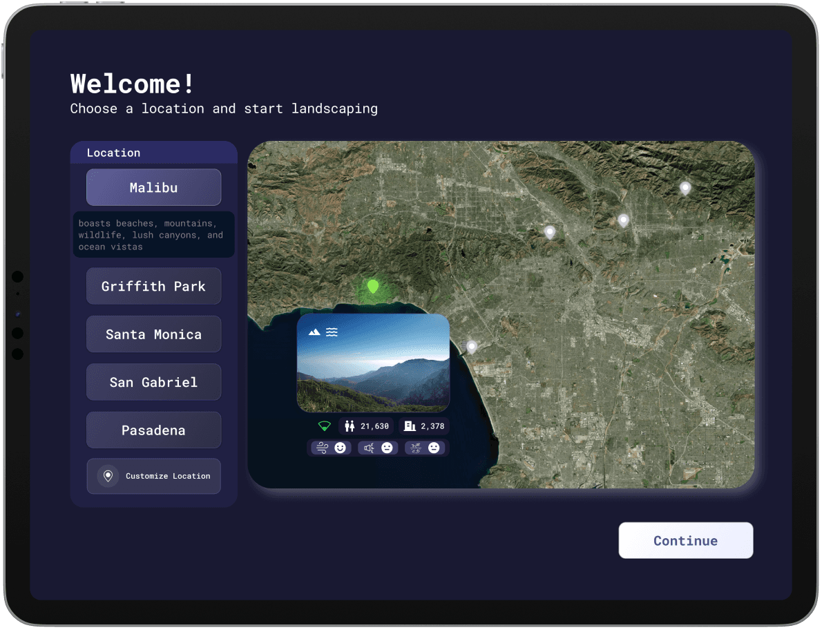
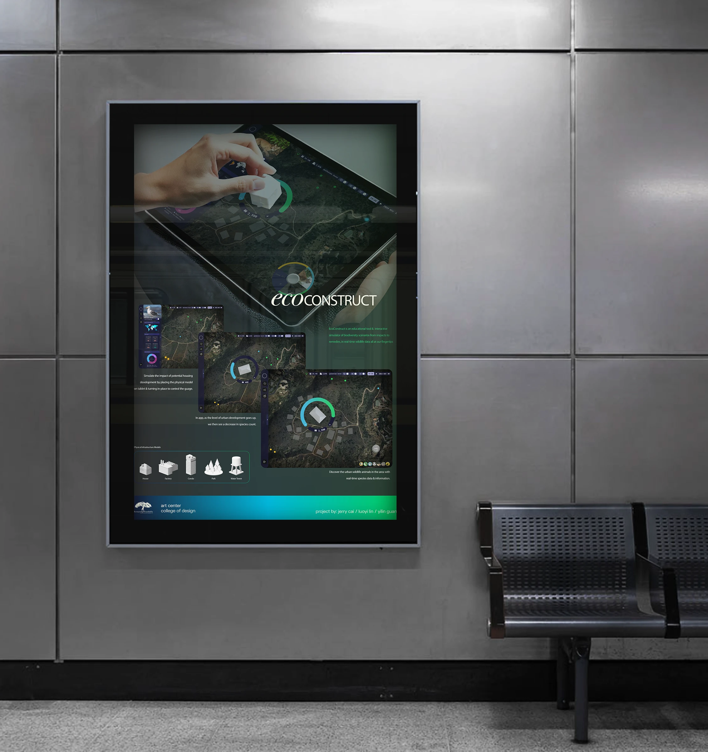
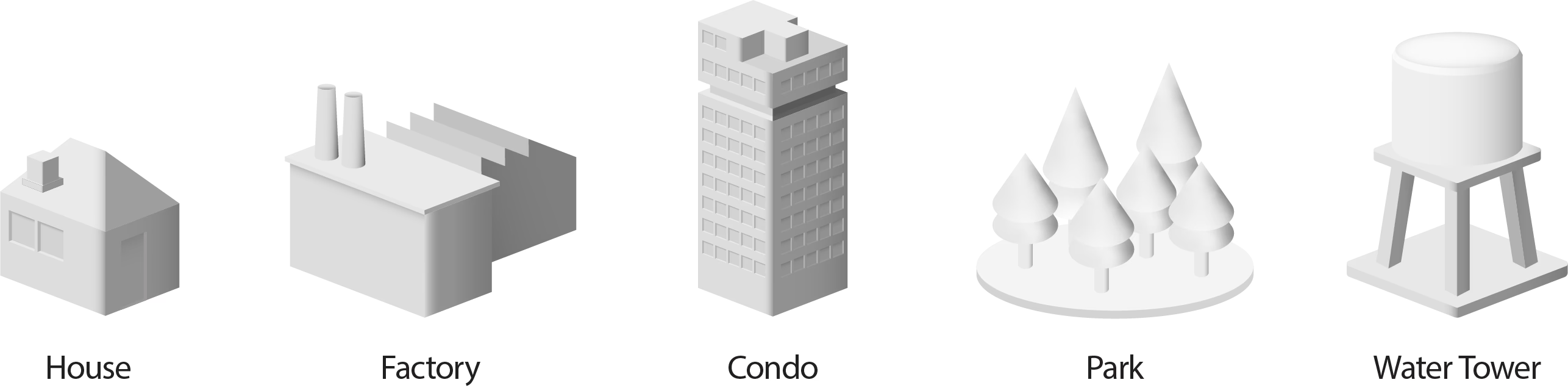
Select a location to view data on population, urbanization, building density, and pollution (air, noise, ground), gaining insights into urban impact and helping architecture students assess ecological effects.
Image
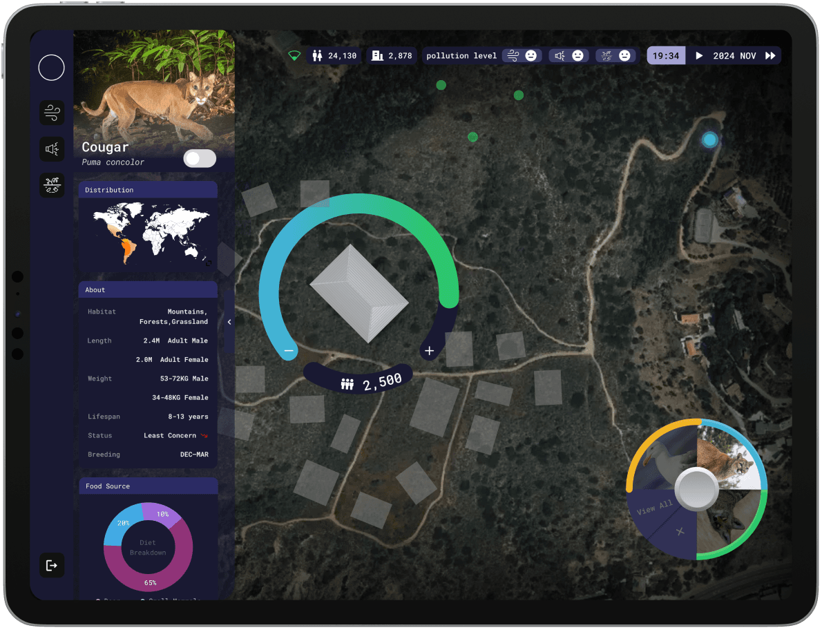
Toggle between local animals in the simulation, accessing detailed, dynamic data based on their actions and the location's original status through a pull-out menu.
Image
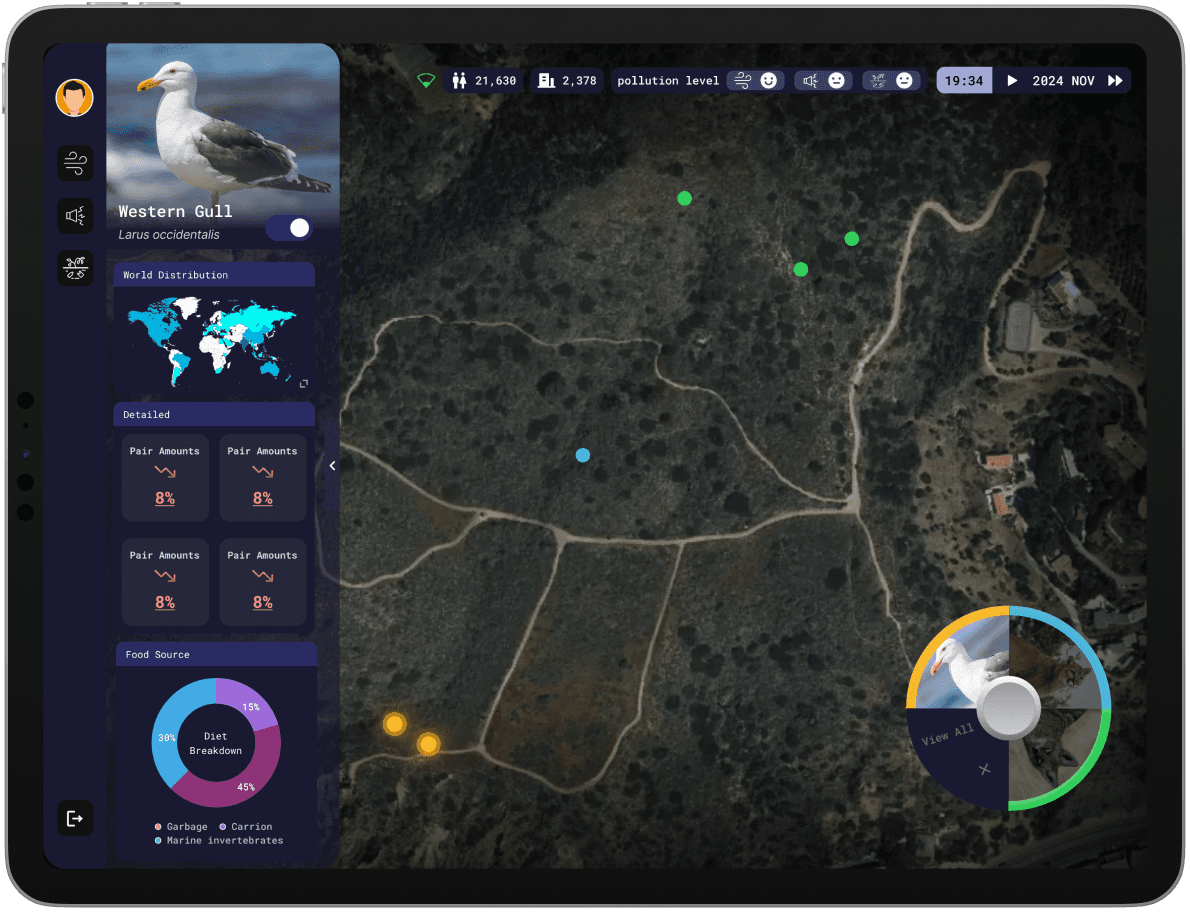
View detailed data, including percentage increases or declines in population, pair counts, habitat size, and nesting. A breakdown of food sources is also provided, all of which dynamically change based on user actions.
Image