MFA in Graphic Design - 3 Yr Path — Graduate Graphic Design
Course:
693 Graduate Type 5: Transmedia
Faculty:
Brad Bartlett
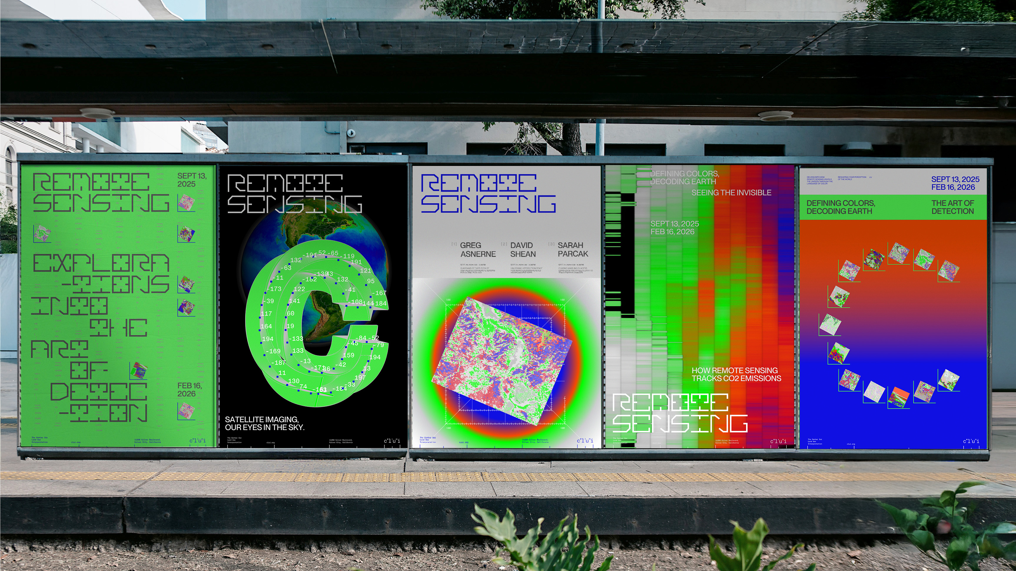
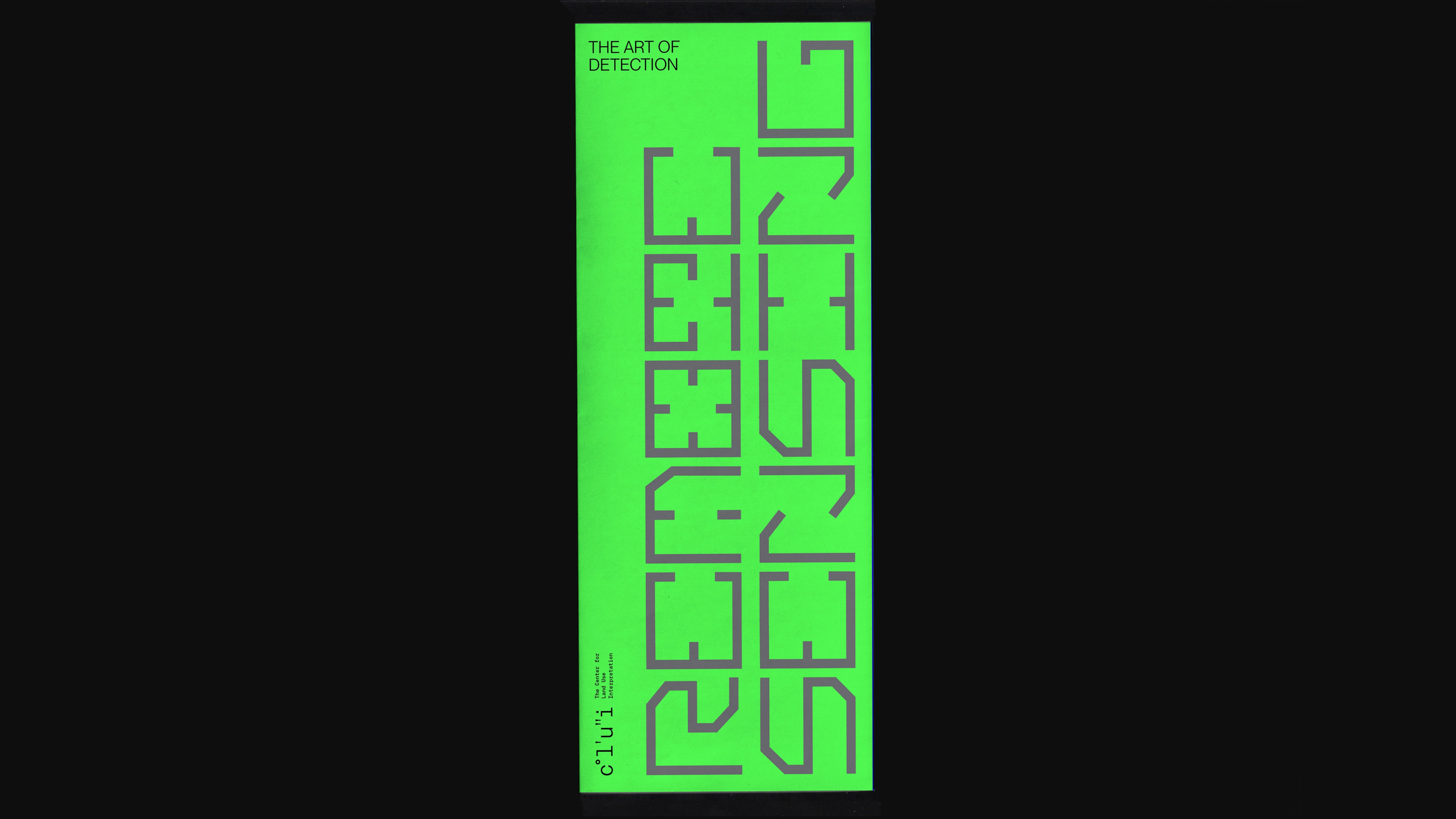
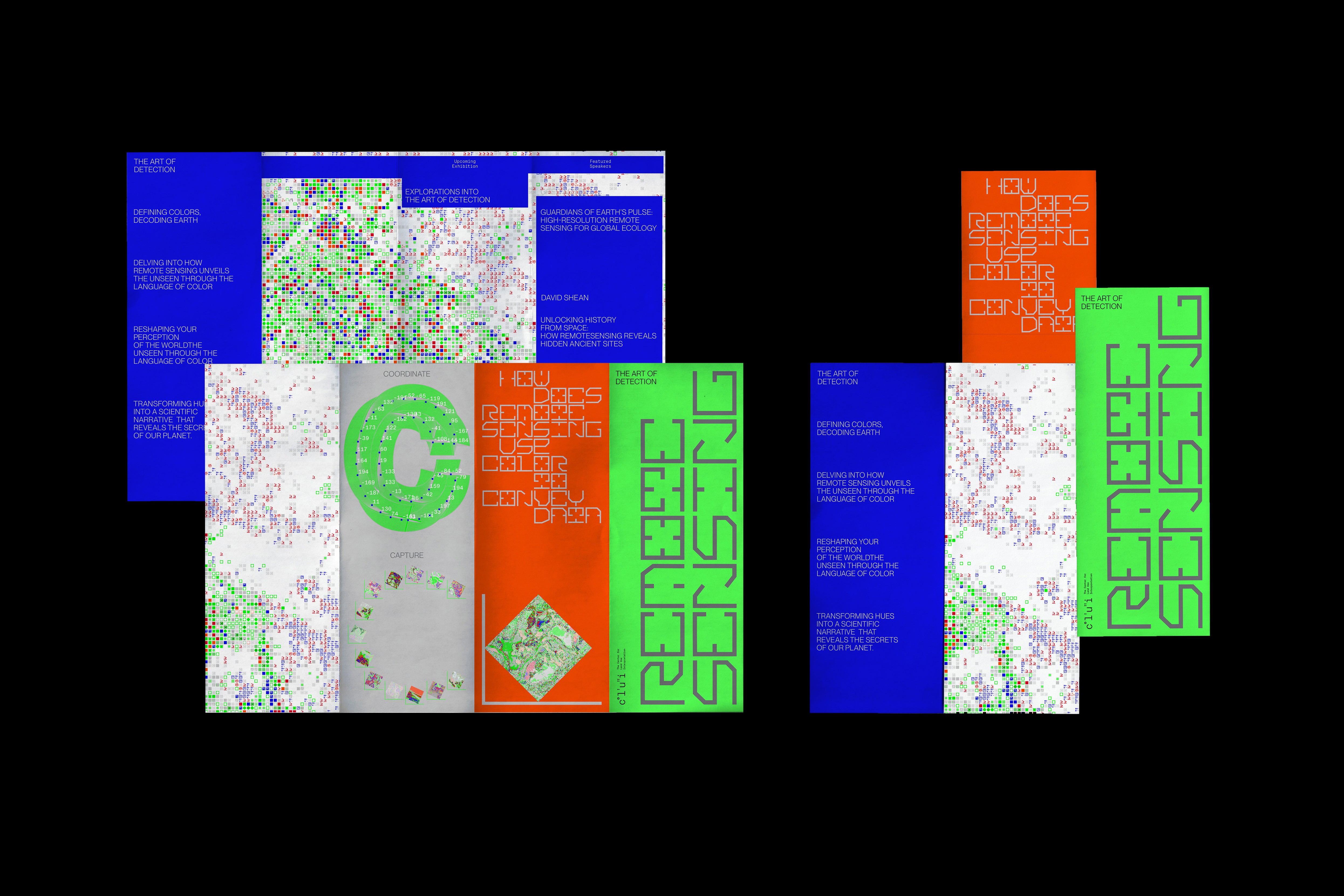
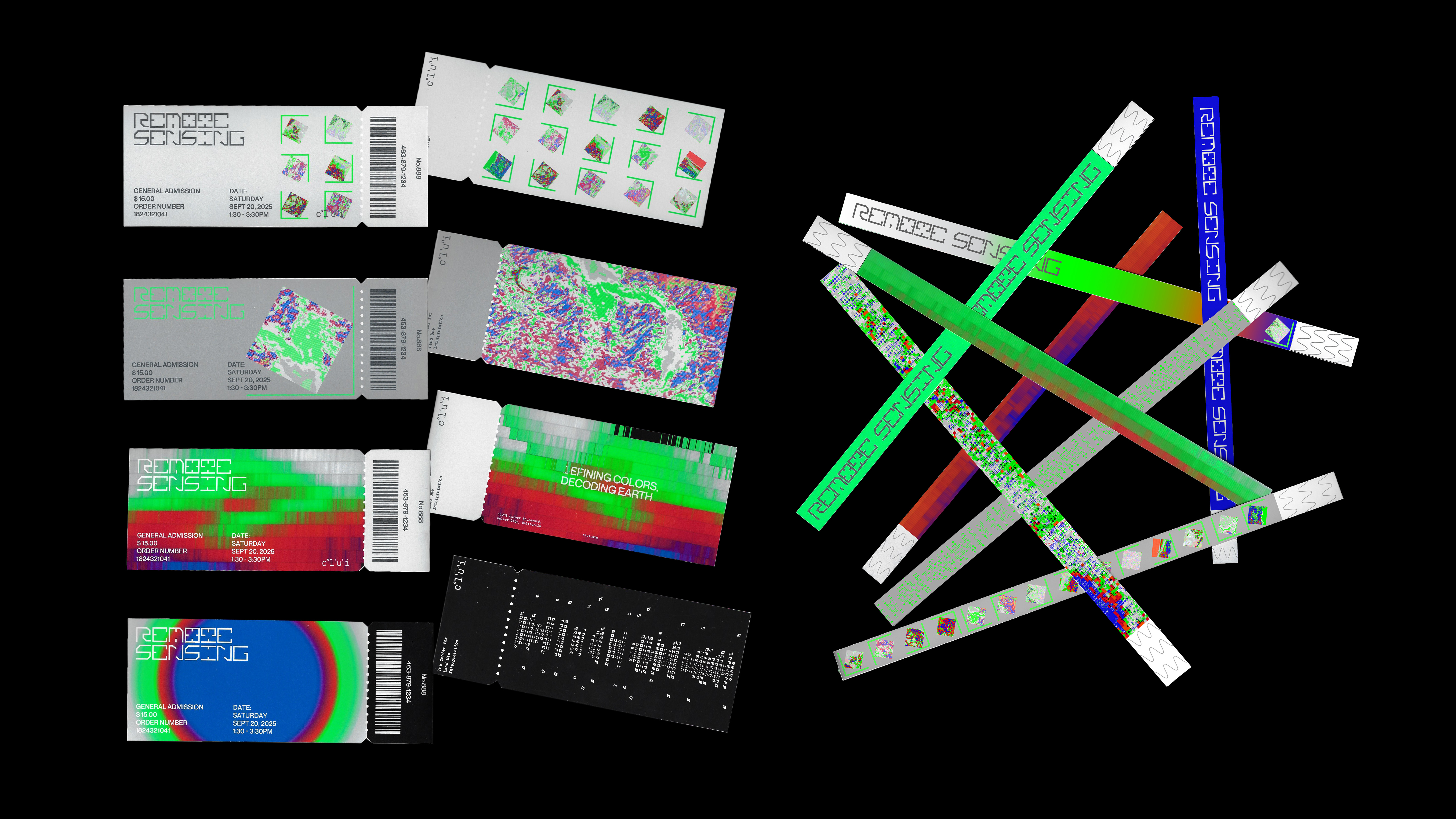
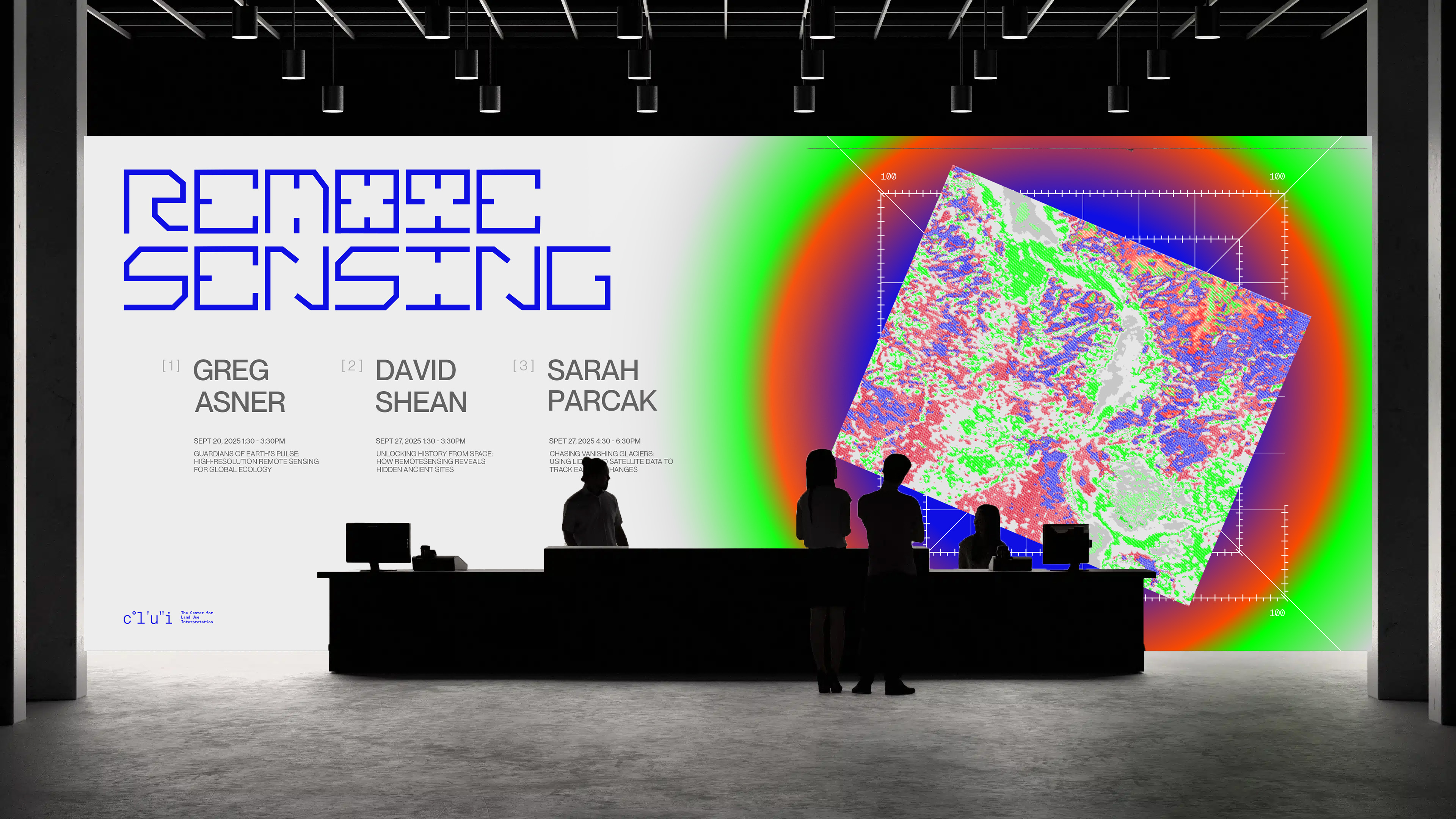
Remote Sensing
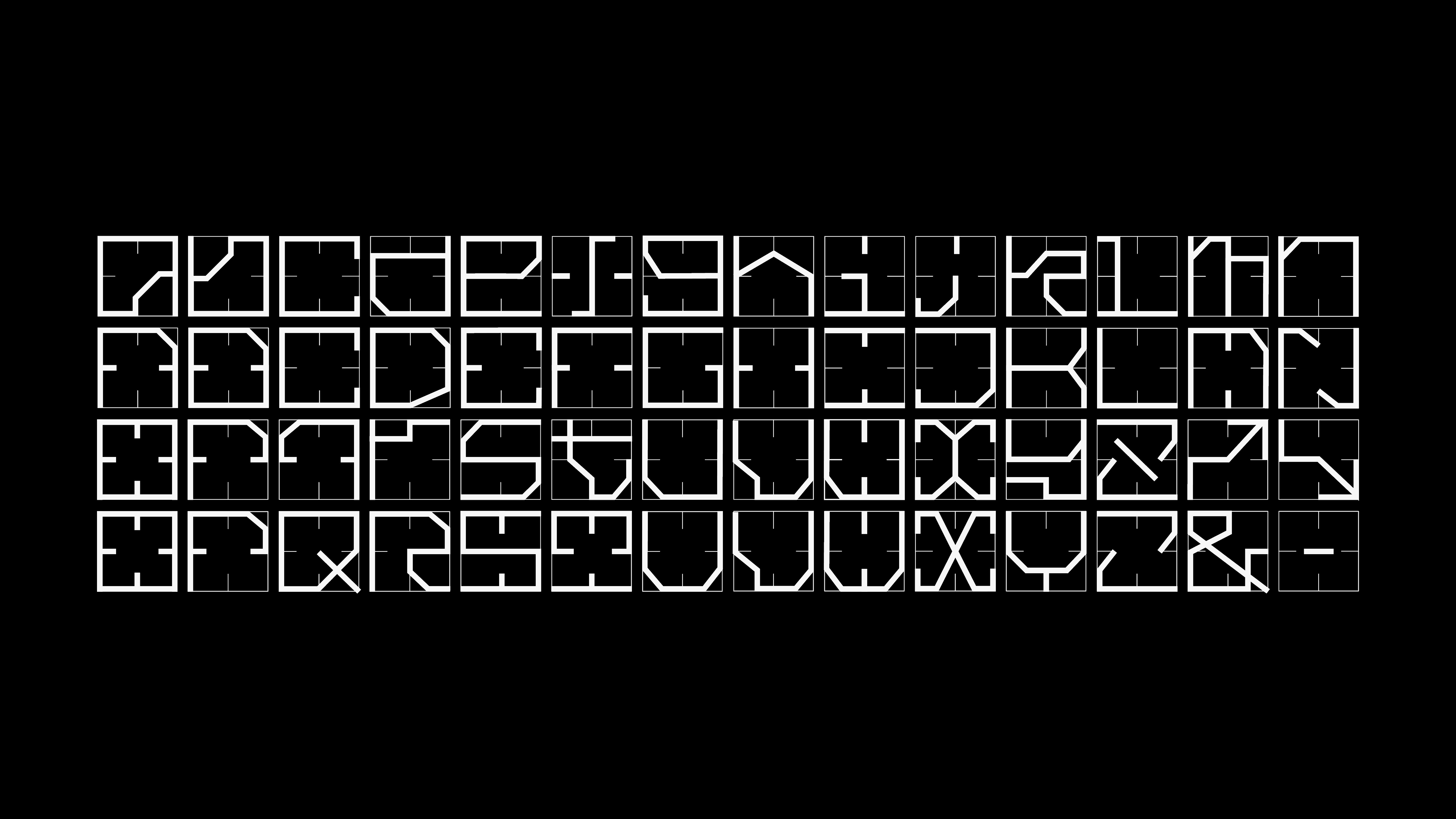
Remote Sensing is an exhibition hosted by CLUI—The Center for Land Use Interpretation. As the "eyes in the sky," remote sensing technology visualizes otherwise invisible data, such as CO₂ emissions, by defining and decoding colors. The modular type grid I designed is inspired by coordinate system symbols used in geography, incorporating the color spectrum commonly found in remote sensing imagery as a key visual language.
Learning Outcomes:
I experimented with various ways to represent data using p5.js, linking it to remote sensing techniques. By utilizing gradients, I recreated daily CO₂ emissions from 1970 to 2020 and displayed the data within a 3D space. Additionally, I explored multiple methods to present the underlying driving data. Remote sensing is not just a well-established science but also an art form that integrates creativity, subjectivity, and interpretation.